| |
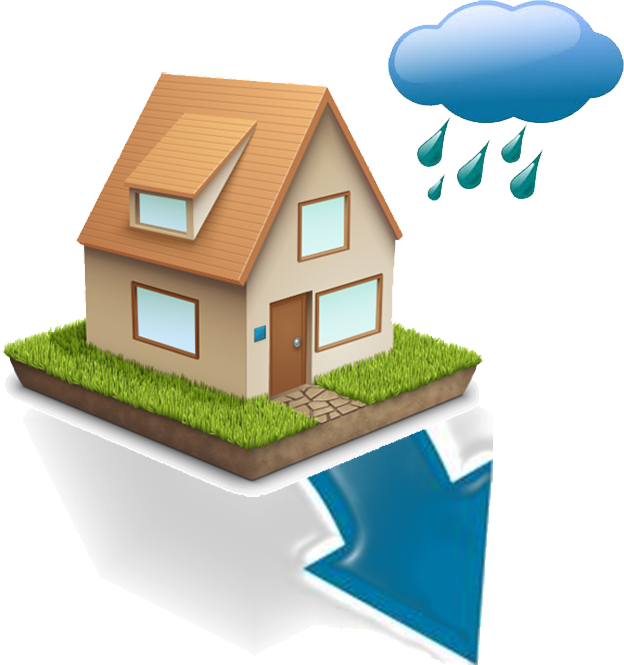
 Using the address you provided, the tool was able to find your location and build your Property Profile, which includes information like average annual rainfall, total parcel acres, slope, and soil type. This data is then used to determine which green infrastructure (GI) projects are best for your property. The yellow highlighted green infrastructure below is recommended for your property, but you can select any of the GIs listed below. If you need additional information about these GIs, visit the Green Solutionspage. Once you have selected your GI, click on the Plan tab to Plan and Share your project. Using the address you provided, the tool was able to find your location and build your Property Profile, which includes information like average annual rainfall, total parcel acres, slope, and soil type. This data is then used to determine which green infrastructure (GI) projects are best for your property. The yellow highlighted green infrastructure below is recommended for your property, but you can select any of the GIs listed below. If you need additional information about these GIs, visit the Green Solutionspage. Once you have selected your GI, click on the Plan tab to Plan and Share your project.
|
| |
 You have selected the following RainWays Best Practices. Use the slider bar to adjust the GI size to determine the amount of stormwater the GI can control. Use the menu bar on the right to track your overall property progress.
|
Do you want to share this project?